Join Extension Activities

All Events
- Highlighted Programmes
- All Events
- Hong Kong Reading Week
- Events at Hong Kong Central Library
- Summer Library Festival
- Reading Activities
- Literary Activities
- Awards / Competitions
-
Talks / Workshops
- Talk Series on "Hong Kong Memories: Rediscovering Hong Kong's History and Culture"
- Subject Talk Series on Life & Death Education
- Philosophy Talk
- “A Century of Architecture: The Story of Tung Wah Museum” Subject Talks
- “Integrating Past with Present: The Journey of Tung Wah’s Intangible Heritage through Time” Subject Talks
- “Centred on People: Specialist Healthcare Services and Everyday Life” Subject Talks
- “Keeping up with the Times: Mapping the Development of Hong Kong’s Healthcare Services through the Archives” Subject Talks
- Subject Talks on Cosmopolitan Hong Kong
- Subject Talk Series on History and Culture of Hong Kong
- Lecture Series on Chinese Classics and Their Contemporary Resonances
- Other Talks and Workshops
- IT Activities
- Storytelling for Children
- Exhibitions
-
Hot Topics
- Storytelling for Children (Cantonese)
- Storytelling for Children
- Activities in the Chinese Culture Promotion Series
- Talk on Chinese Classics
- Storytelling for Children (Cantonese)
- Other Exhibitions
- Storytelling for Children (English)
- 4.23 World Book Day
- Other Talks / Workshops
- Chinese Culture Festival 2026 Library Tie-in Activities

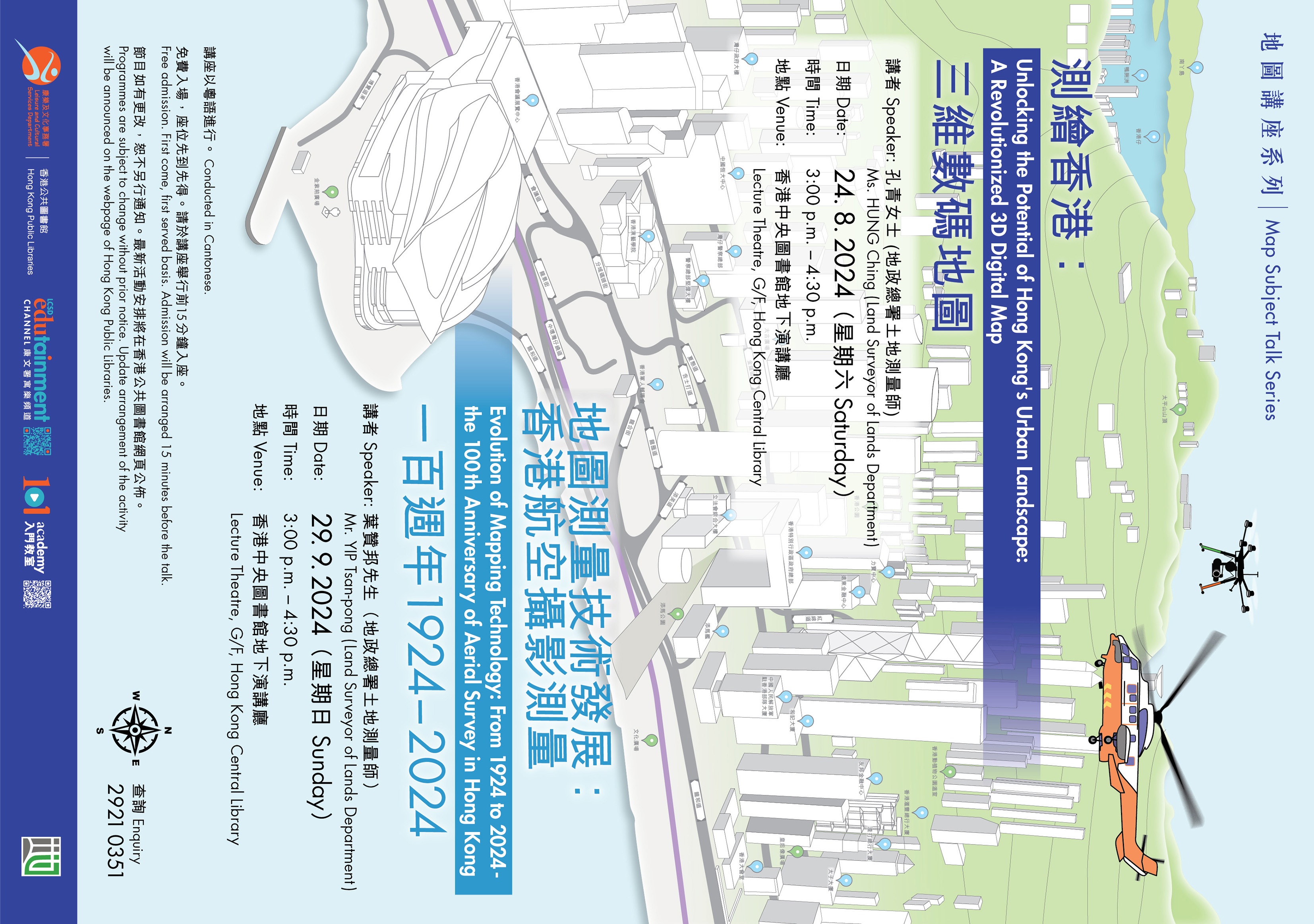
Map Subject Talk Series - Evolution of Mapping Technology: From 1924 to 2024 - the 100th Anniversary of Aerial Survey in Hong Kong
| Date: | 2024/9/29 (Sunday) |
| Time: | 3:00 p.m. to 4:30 p.m. |
| Venue: | Hong Kong Central Library (Lecture Theatre, G/F) |
| Speaker: | Mr YIP Tsan-pong (Land Surveyor of Lands Department) |
| Organiser: | Jointly organised by the Hong Kong Public Libraries, Leisure and Cultural Services Department and the Lands Department |
| Remarks: | Conducted in Cantonese. Free admission. First come, first served basis. Admission will be arranged 15 minutes before the talk. Programme is subject to change without prior notice. |
| Enquiry: | Map Library, Hong Kong Public Library |
| Enquiry Telephone Number: | 2921 0351 |
Mapping technology plays a crucial role in urban planning and land management. The introduction of aerial survey marks a significant milestone in the mapping development of Hong Kong. In light of Hong Kong's 100th Anniversary of aerial Survey, the speaker will introduce the history of aerial surveying in Hong Kong, showcase the technology employed and discuss the pivotal role of aerial survey in shaping Hong Kong's modern mapping system. Moreover, the latest advancements in modern mapping technology - the utilization of unmanned aerial system (UAS) will be delved.