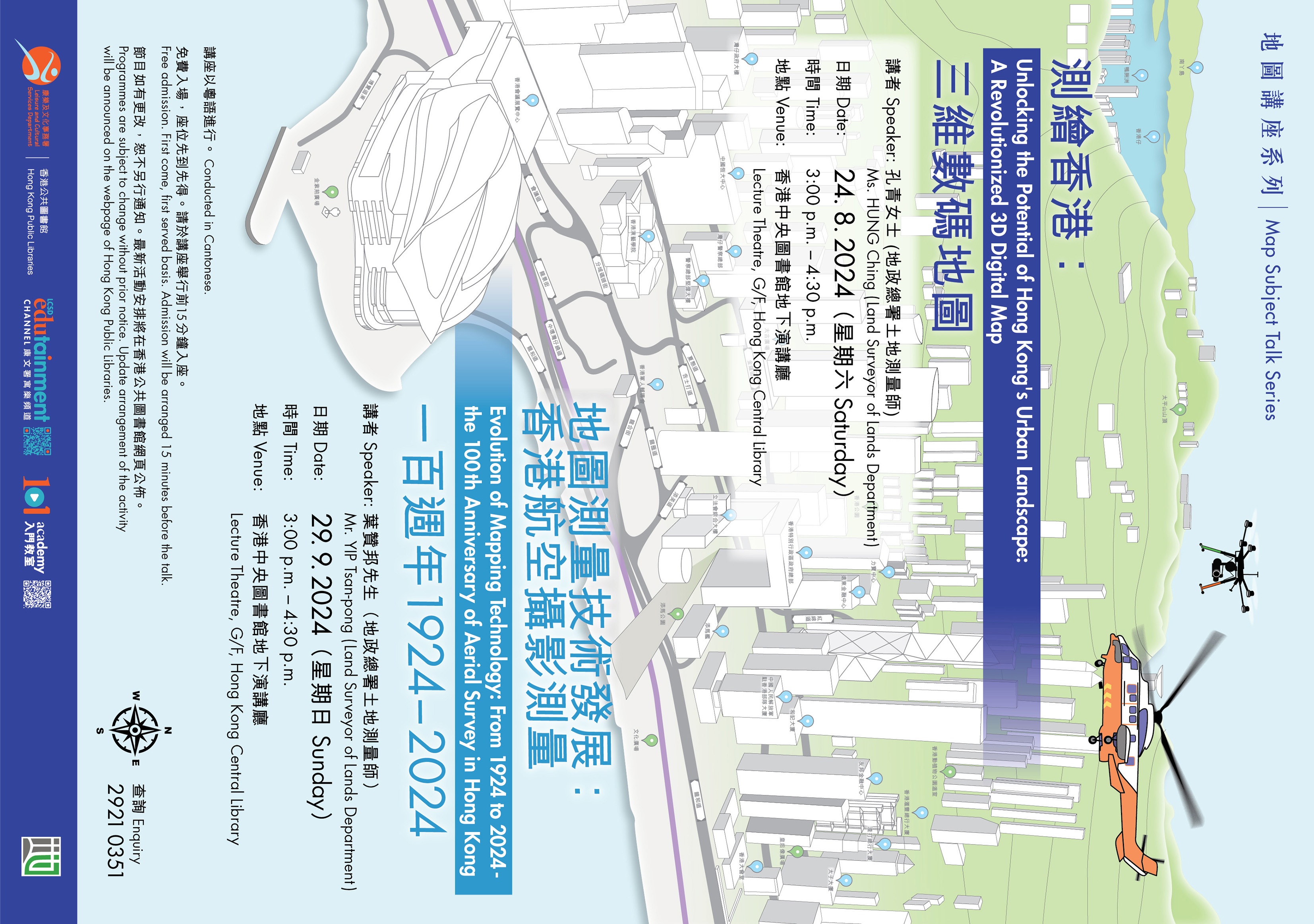
Map Subject Talk Series - Evolution of Mapping Technology: From 1924 to 2024 - the 100th Anniversary of Aerial Survey in Hong Kong
.

Date:
2024/9/29 (Sunday)
Time:
3:00 p.m. to 4:30 p.m.
Venue:
Hong Kong Central Library (Lecture Theatre, G/F)
Speaker:
Mr YIP Tsan-pong (Land Surveyor of Lands Department)
Organiser:
Jointly organised by the Hong Kong Public Libraries, Leisure and Cultural Services Department and the Lands Department
Remarks:
Conducted in Cantonese.
Free admission. First come, first served basis. Admission will be arranged 15 minutes before the talk.
Programme is subject to change without prior notice.
Enquiry:
Map Library, Hong Kong Public Library
Enquiry Telephone Number:
2921 0351
Mapping technology plays a crucial role in urban planning and land management. The introduction of aerial survey marks a significant milestone in the mapping development of Hong Kong. In light of Hong Kong's 100th Anniversary of aerial Survey, the speaker will introduce the history of aerial surveying in Hong Kong, showcase the technology employed and discuss the pivotal role of aerial survey in shaping Hong Kong's modern mapping system. Moreover, the latest advancements in modern mapping technology - the utilization of unmanned aerial system (UAS) will be delved.